-
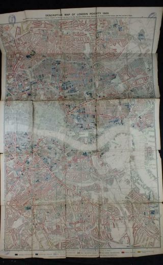
1889 Charles Booth, Descriptive Map Of London Poverty, Northern Sheets X2, Key
-
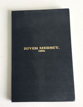
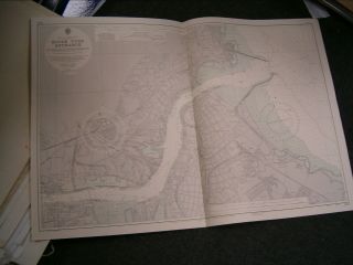
River Mersey 1954 Very Large Map Liverpool Wallasey Birkenhead Eastham
-
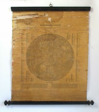
Antique 19th C Map Of The Moon, Berlin, Germany, 1837 Wilhelm Beer & Madler
-
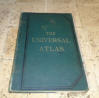
The Universal Atlas 1893 Complete Book Of Coloured Maps
-
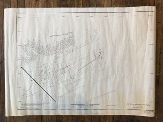
Vintage Government Map Of Nazca Lines Peru Ufo Ancient Alien Occult Book
-
![Vintage Military Map Of Nazca Lines Peru Ufo Ancient Alien Occult Book]()
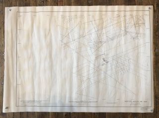
Vintage Military Map Of Nazca Lines Peru Ufo Ancient Alien Occult Book
-
![Vintage George F. Cram Class Room Pull Down Instructive Series Map]()
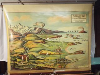
Vintage George F. Cram Class Room Pull Down Instructive Series Map
-
![Francis Chichesters Vintage Map And Guide Of London]()
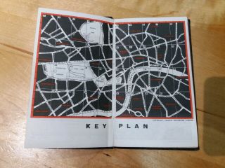
Francis Chichesters Vintage Map And Guide Of London
-
![1940 Vintage School Pull Down Rollup Maps Denoyer - Geppert 10 Map Rack & 9 Maps]()

1940 Vintage School Pull Down Rollup Maps Denoyer - Geppert 10 Map Rack & 9 Maps
-
![Vintage Large Map Of Britain Wales Midlands Superficial Deposits Solid Geology]()
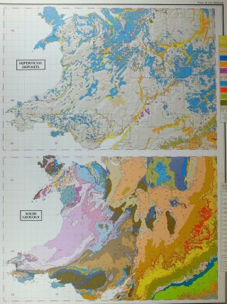
Vintage Large Map Of Britain Wales Midlands Superficial Deposits Solid Geology
-
![Map/battle Plan Waterloo Situation June 18th 1815 11:15am Troop Positions]()
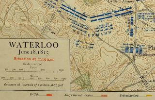
Map/battle Plan Waterloo Situation June 18th 1815 11:15am Troop Positions
-
![Limited Edition]()
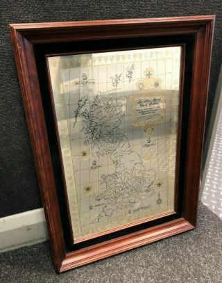
Limited Edition ' The Silver Map Of Great Britain ' Sterling Silver Hallmarked
-
![Solid Silver Map Of Great Britain 27 " X20 " Hallmarked With Certificate No 1870]()
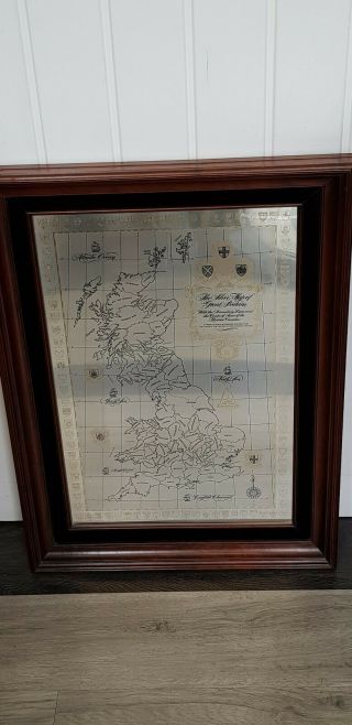
Solid Silver Map Of Great Britain 27 " X20 " Hallmarked With Certificate No 1870
-
![1850 Antique Map " Islands Indian Ocean " Mauritius Madagascar Tallis - Colour (10]()
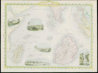
1850 Antique Map " Islands Indian Ocean " Mauritius Madagascar Tallis - Colour (10
-
![1922 Large Map Dorset Isle Of Wight Bournemouth Southampton Forest]()
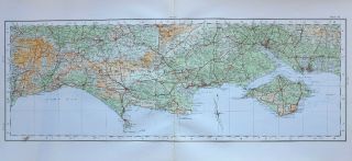
1922 Large Map Dorset Isle Of Wight Bournemouth Southampton Forest
-
![Cram]()
Cram ' S Modern Atlas The World Indexed 1903
-
![Cram]()
Cram ' S Modern Atlas The World Indexed Book Copyright 1903
-
![1790 Dated Rigobert Bonne Map DÉpartements Et Districts De L]()
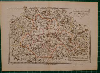
1790 Dated Rigobert Bonne Map DÉpartements Et Districts De L ' OrlÉanais Loiret
-
![C1800 - Road Map Adapted For Pilgrim]()
C1800 - Road Map Adapted For Pilgrim ' S Progress Hand - Coloured Engraving Bunyan
-
![1898 Antique Map Arabia Yemen Strait Of Bab - El - Mandeb Jerusalem]()
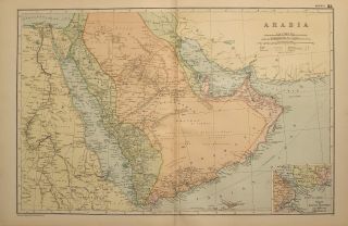
1898 Antique Map Arabia Yemen Strait Of Bab - El - Mandeb Jerusalem
-
![Vintage Map Print Bermuda Island Mappa Aestivarum Barmvdas]()
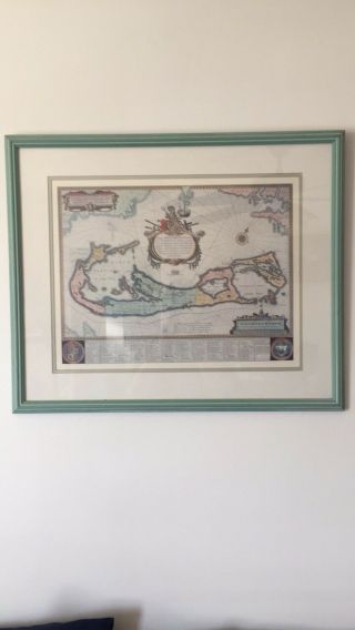
Vintage Map Print Bermuda Island Mappa Aestivarum Barmvdas
-
![1850 - Illustrated Antique Map Of " The Crimea " Turkey By Tallis (74d)]()
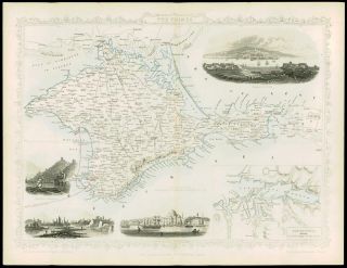
1850 - Illustrated Antique Map Of " The Crimea " Turkey By Tallis (74d)
-
![Antique Map Borough Of Burton On Trent By J A Mason 1879 With Brewery References]()
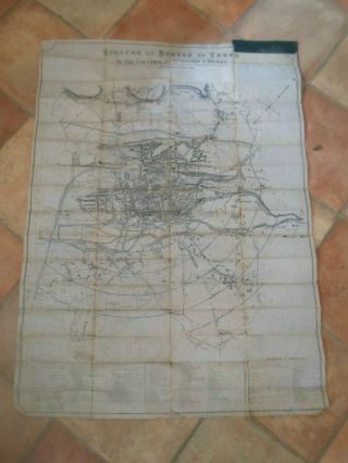
Antique Map Borough Of Burton On Trent By J A Mason 1879 With Brewery References
-
![Scotch Whisky 1902 Distillery Map]()
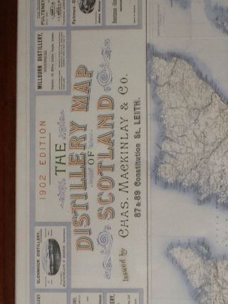
Scotch Whisky 1902 Distillery Map
-
![Vintage Large Map Of Britain Glassware Employment Pottery China Potters Clay]()
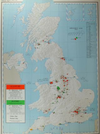
Vintage Large Map Of Britain Glassware Employment Pottery China Potters Clay
-
![Vintage Maps - Gt. Britain - Cloth - Backed In Leather Case]()

Vintage Maps - Gt. Britain - Cloth - Backed In Leather Case
-
![1904 Map Of Ancient History Syria Phoenice Palaestina]()
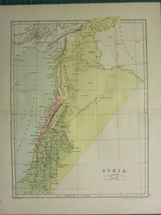
1904 Map Of Ancient History Syria Phoenice Palaestina
-
![Map/battle Plan Campaign In Portugal 1809traos Montes Oporto Soult Hill Cotton]()
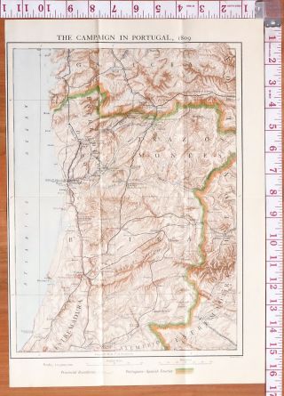
Map/battle Plan Campaign In Portugal 1809traos Montes Oporto Soult Hill Cotton
-
![Ginn & Company]()
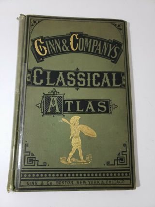
Ginn & Company ' S Classical Atlas 1895 With 23 Colored Maps Complete
-
![1787 Dated Rigobert Bonne Map Austria Duchy Carinthia]()
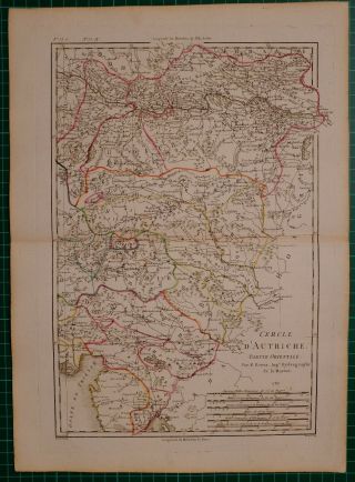
1787 Dated Rigobert Bonne Map Austria Duchy Carinthia
-
![1828 Map Of The Roman Empire. Engraved For & Published By J. Vincent Of Oxford]()
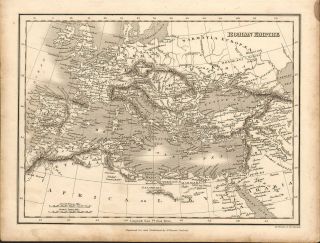
1828 Map Of The Roman Empire. Engraved For & Published By J. Vincent Of Oxford
-
![1897 Map Of Clun And District By Bartholomew - Knighton, Bishops Castle.]()
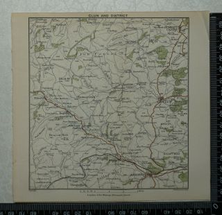
1897 Map Of Clun And District By Bartholomew - Knighton, Bishops Castle.
-
![Map/battle Plan Bourbon 1810 Fraser 1st Brigade St Denis Mauritius Port Louis]()
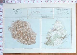
Map/battle Plan Bourbon 1810 Fraser 1st Brigade St Denis Mauritius Port Louis
-
![Map/battle Plan Expedition To Kandy 1803 Macdowall]()
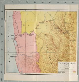
Map/battle Plan Expedition To Kandy 1803 Macdowall ' S Route British Territory
-
![1897 Map Of Church Stretton And Long Mynd By Bartholomew]()
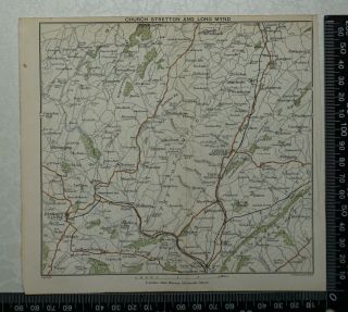
1897 Map Of Church Stretton And Long Mynd By Bartholomew
-
![Antique Sheet Map An Historical Map Of England With The Sites Of All The Battles]()
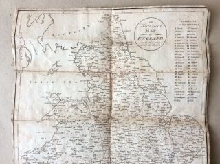
Antique Sheet Map An Historical Map Of England With The Sites Of All The Battles
-
![1891 Watson Map - Atlantic Islands - Galkland Canary Azores Cape Verde Bermuda]()
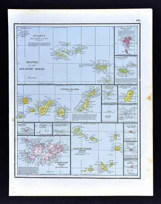
1891 Watson Map - Atlantic Islands - Galkland Canary Azores Cape Verde Bermuda
-
![National Geographic Map A Traveler]()

National Geographic Map A Traveler ' S Look At Australia 1788 Bicentennial 1988
-
![River Tamar (upper), 1878 Antique Map, Rare, Bartholomew, A C Black]()
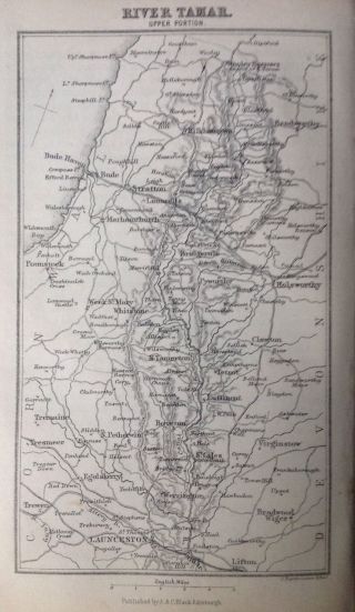
River Tamar (upper), 1878 Antique Map, Rare, Bartholomew, A C Black
-
![Map/battle Plan North Holland Expedition 1799 Action On Disembarkation 1799]()
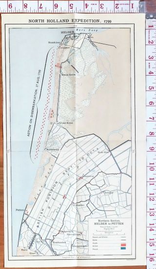
Map/battle Plan North Holland Expedition 1799 Action On Disembarkation 1799
-
![Map/battle Plan North Holland 1799 Petten To Alkmaar British French & Russian]()
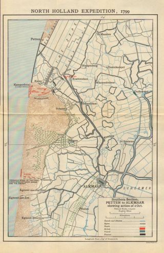
Map/battle Plan North Holland 1799 Petten To Alkmaar British French & Russian
-
![Vintage Old Worcestershire County Map 1830 1990 England]()
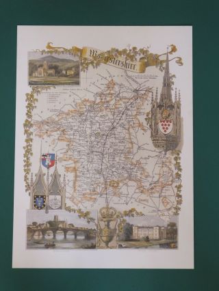
Vintage Old Worcestershire County Map 1830 1990 England
-
![Authentic 1904 Antique Map Of " City Of London In 1658 " By Faithorne And Newcourt]()
Authentic 1904 Antique Map Of " City Of London In 1658 " By Faithorne And Newcourt
-
![1897 Map Of Macclesfield & Buxton By Bartholomew - Bollington, Chapel En Le Frith]()
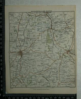
1897 Map Of Macclesfield & Buxton By Bartholomew - Bollington, Chapel En Le Frith
-
![1897 Map Of Delamere And Tarporley By Bartholomew - Frodsham, Middlewich, Northwic]()
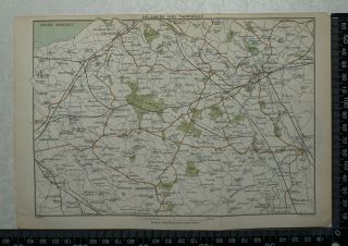
1897 Map Of Delamere And Tarporley By Bartholomew - Frodsham, Middlewich, Northwic
-
![Miniature Novelty Calendar & Road Atlas Of Great Britain 1943/44 Vgc]()
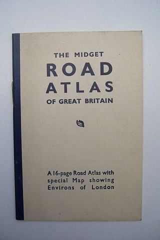
Miniature Novelty Calendar & Road Atlas Of Great Britain 1943/44 Vgc
-
![Sumatra: Jan. - Feb. 1914 Map; Some Splitting On Folds, Otherwise Good.]()
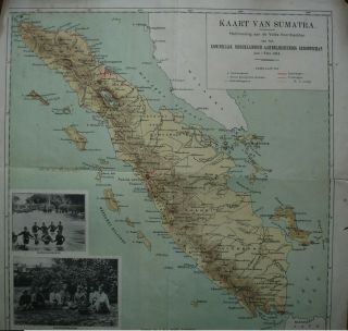
Sumatra: Jan. - Feb. 1914 Map; Some Splitting On Folds, Otherwise Good.
-
![C1920 Germany, Hand Drawn Map Of German Town Or Village]()

C1920 Germany, Hand Drawn Map Of German Town Or Village
-
![Leatherhead Ashtead Chessington C1920 Map London South Of The Thames 7x4”]()
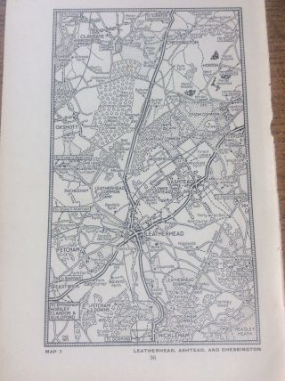
Leatherhead Ashtead Chessington C1920 Map London South Of The Thames 7x4”
-
![International Atlas Of The World Deluxe 1942 Edition Geographical Publishing]()
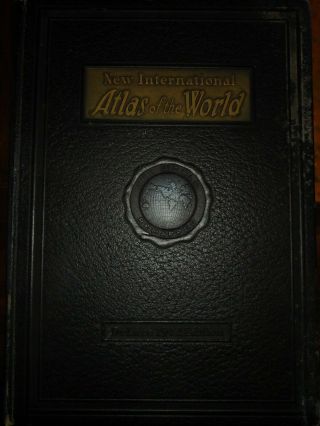
International Atlas Of The World Deluxe 1942 Edition Geographical Publishing
-
![1969 River Thames - Sea Reach Admiralty Navigation Map Chart 28 " X 52 " A40]()
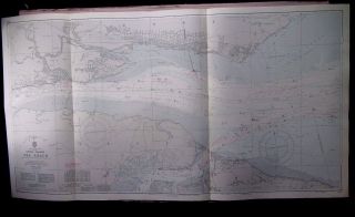
1969 River Thames - Sea Reach Admiralty Navigation Map Chart 28 " X 52 " A40
-
![Ordnance Survey Brief Description Of National Grid & Reference System Book 1/45]()
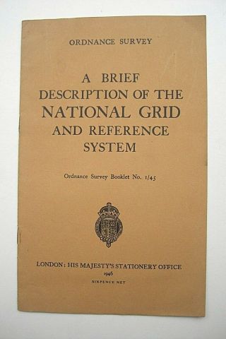
Ordnance Survey Brief Description Of National Grid & Reference System Book 1/45
-
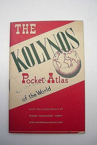
![Mini Pocket Atlas & Calendar Promoting Kolynos Toothpaste 1940 Vgc]()
Mini Pocket Atlas & Calendar Promoting Kolynos Toothpaste 1940 Vgc
-
![Pilot Chart Of The Indian Ocean No. 2603 September 15 1920 Hydrographic Office]()
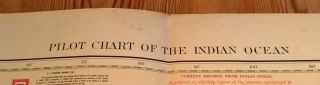
Pilot Chart Of The Indian Ocean No. 2603 September 15 1920 Hydrographic Office
-
![Vintage National Geographic 1967 Lands Of The Bible Today 41 X 29 Inch Map]()
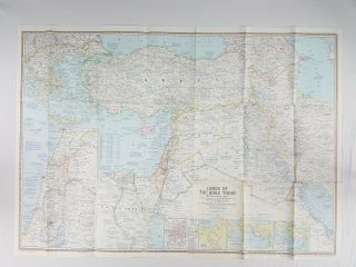
Vintage National Geographic 1967 Lands Of The Bible Today 41 X 29 Inch Map
-
![Antique Map 1920 - World War 1 - Western Front - Lens And Arras Post]()
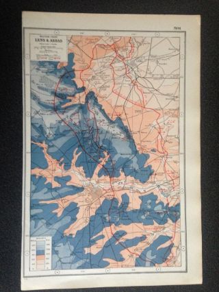
Antique Map 1920 - World War 1 - Western Front - Lens And Arras Post
-
![C1960s Suvrov Suwarrow Lagoon Cook Islands Admiralty Sea Map Chart 28 " X 41 " C33]()
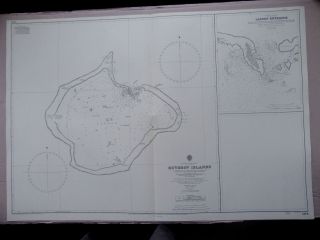
C1960s Suvrov Suwarrow Lagoon Cook Islands Admiralty Sea Map Chart 28 " X 41 " C33
-
![Ordnance Survey Vintage Cloth Maps Bacons County Map Glouster Cycling]()
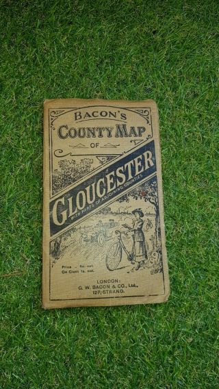
Ordnance Survey Vintage Cloth Maps Bacons County Map Glouster Cycling
-
![Antique German Woodcut Map Of Ancient Edinburgh And Leith.]()
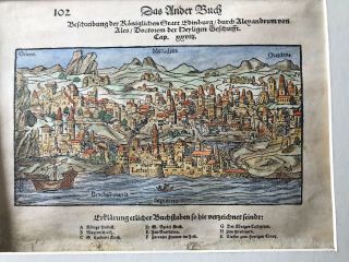
Antique German Woodcut Map Of Ancient Edinburgh And Leith.
-
![International Atlas Of The World Deluxe 1942 Edition Geographical Publishing]()
International Atlas Of The World Deluxe 1942 Edition Geographical Publishing
-
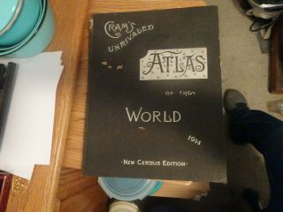
![Cram]()
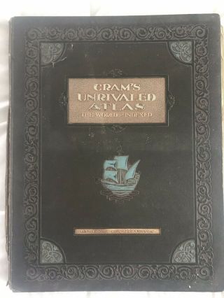
Cram ' S Unrivaled Atlas The World - Indexed 63nd Edition With 1940 Census
-
![1924 Atlas Of The World And Gazetteer - Funk & Wagnalls - Vintage Hb]()
1924 Atlas Of The World And Gazetteer - Funk & Wagnalls - Vintage Hb
-
![1976 Swansea Bay South Wales - Nautical Map Sea Chart 28 " X 41 "]()
1976 Swansea Bay South Wales - Nautical Map Sea Chart 28 " X 41 "
-
![Map Of The North Pacific Ocean. 1922 Alaska. Kamchatka. Aleutian Islands]()
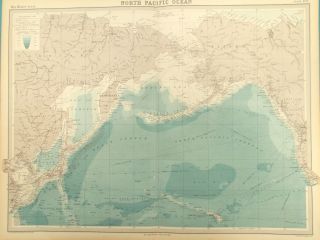
Map Of The North Pacific Ocean. 1922 Alaska. Kamchatka. Aleutian Islands
-
![Large Vintage Poster 1969 Rand Mcnally Map Of The Moon 24. 5 " X 18. 5 "]()
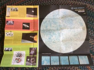
Large Vintage Poster 1969 Rand Mcnally Map Of The Moon 24. 5 " X 18. 5 "
-
![Vintage Admiralty Chart 1952 Uk - Southampton Water - Ref 1905]()
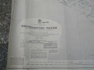
Vintage Admiralty Chart 1952 Uk - Southampton Water - Ref 1905
-
![1964 Port Of Lisbon - Portugal Admiralty Map Chart 28 " X 41 " D73]()
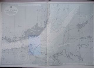
1964 Port Of Lisbon - Portugal Admiralty Map Chart 28 " X 41 " D73
-
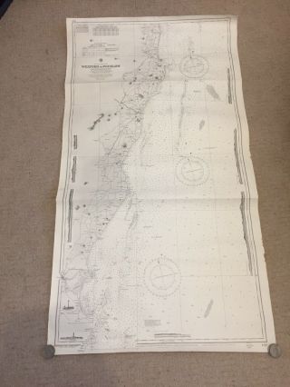
![1970 Australia East Coast Queensland - Navigation Sea Map Chart 28 " X 41 " B42]()
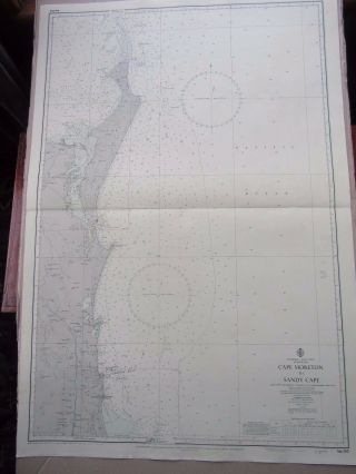
1970 Australia East Coast Queensland - Navigation Sea Map Chart 28 " X 41 " B42
-
![Vintage 1938 Pictorial Plan Of Glasgow Serving The Empire Exhibition 1938]()
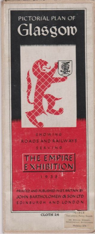
Vintage 1938 Pictorial Plan Of Glasgow Serving The Empire Exhibition 1938
-
![Vintage Admiralty Chart 1934 Uk - River Tyne Entrance 1957 Edn]()
Vintage Admiralty Chart 1934 Uk - River Tyne Entrance 1957 Edn
-
![Fish - N - Map Co. Lake Isabella Big Bear Lake California]()
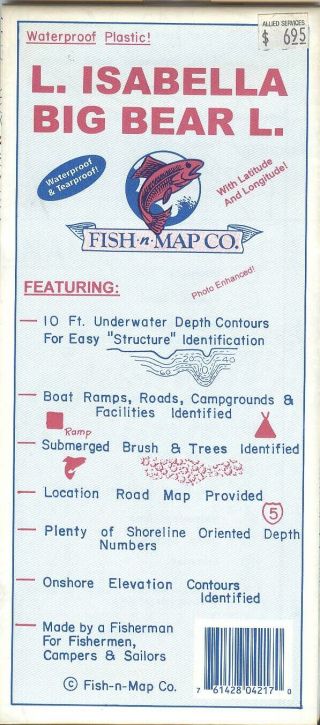
Fish - N - Map Co. Lake Isabella Big Bear Lake California
-
![Fish - N - Map Co. Cherry Creek, Aurora & Quincy Reservoirs Colorado]()
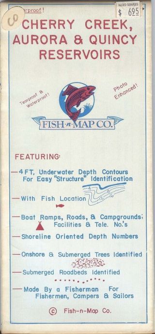
Fish - N - Map Co. Cherry Creek, Aurora & Quincy Reservoirs Colorado
-
![Vintage Cartoon Map Great Lakes Naval Training Center 1949 Ritter Gadbois]()
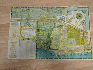
Vintage Cartoon Map Great Lakes Naval Training Center 1949 Ritter Gadbois
-
![1891 Watson - 3 Atlas Charts - Populations Railroads Agriculture National Debt]()
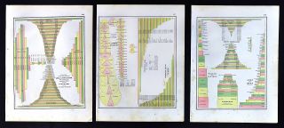
1891 Watson - 3 Atlas Charts - Populations Railroads Agriculture National Debt
-
![2007 Map Of Antarctica, Pacific Ocean : Brazil Mexico Usa Old Maps]()
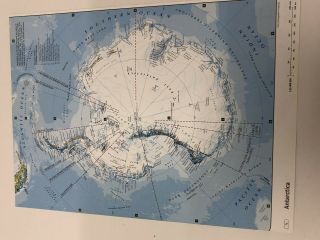
2007 Map Of Antarctica, Pacific Ocean : Brazil Mexico Usa Old Maps
-
![Belfast And Area Street Plan - Map 1960]()
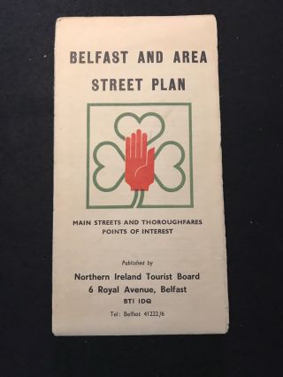
Belfast And Area Street Plan - Map 1960
-
![1922 Large Map South Eastern States Auto Trails Virginia Carolina Rand Mcnally]()
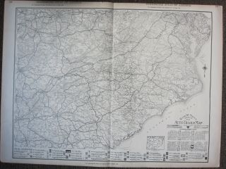
1922 Large Map South Eastern States Auto Trails Virginia Carolina Rand Mcnally
-
![Vintage Large Map Of Britain Mechanical Engineering Scientific Equipment Tools]()
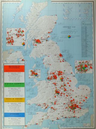
Vintage Large Map Of Britain Mechanical Engineering Scientific Equipment Tools
-
![Suez Canal Map & Notes Published 1926 By Oriental Commercial Bureau]()
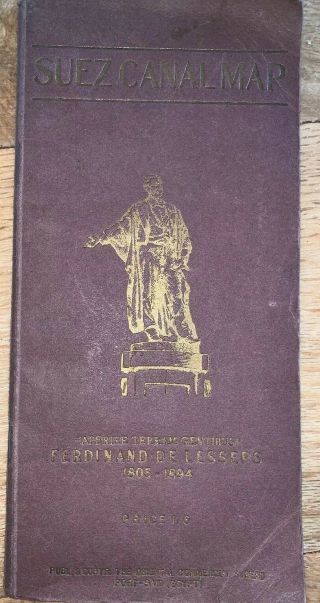
Suez Canal Map & Notes Published 1926 By Oriental Commercial Bureau
-
![Rand Mcnally American History Series 11 Pull Down Maps]()
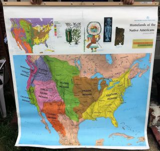
Rand Mcnally American History Series 11 Pull Down Maps
-
![Bartholomew]()
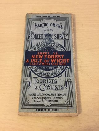
Bartholomew ' S Vintage Cloth Map Sheet 33 Forest & Isle Of Wight
-
![Safety Socket Fire Prevention Outlet Plug]()

Safety Socket Fire Prevention Outlet Plug
-
![Big Map Paper 56/77 Cm Civil Defense In Ww2 Home Guard Scarborough]()
Big Map Paper 56/77 Cm Civil Defense In Ww2 Home Guard Scarborough
-
![Ordnance Survey Vintage Cloth Maps Beacons Motor Map 5 Miles To 1 Inch Golf Link]()
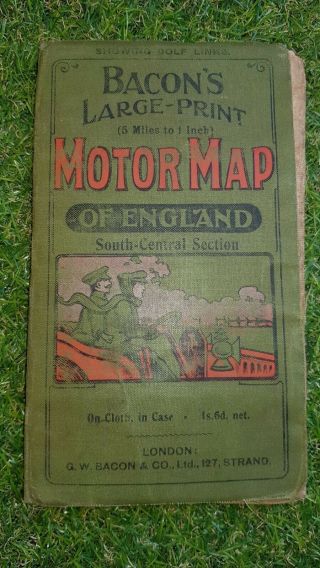
Ordnance Survey Vintage Cloth Maps Beacons Motor Map 5 Miles To 1 Inch Golf Link
-
![The Royal River Map Of The Thames Bartholomew 1937 London Vintage Antique 2 Part]()
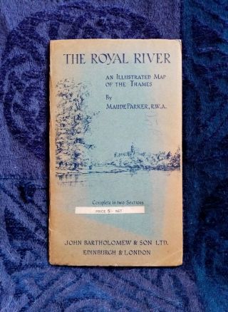
The Royal River Map Of The Thames Bartholomew 1937 London Vintage Antique 2 Part
-
![Topographical Drawing Edwin R. Stuart, 1917 Map Making West Point Rare]()
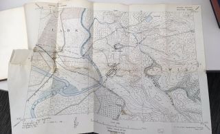
Topographical Drawing Edwin R. Stuart, 1917 Map Making West Point Rare
-
![Very Rare Paris Map Monumental Metropolitan Eiffel Tower France Monuments]()
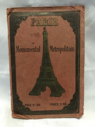
Very Rare Paris Map Monumental Metropolitan Eiffel Tower France Monuments
-
![1971 San Francisco And Northern Peninsula Chevron Map.]()
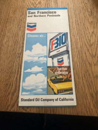
1971 San Francisco And Northern Peninsula Chevron Map.
-
![Vintage Wwii Map 1943 Italy And The Balkans (italie Balkans)]()
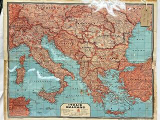
Vintage Wwii Map 1943 Italy And The Balkans (italie Balkans)
-
![1908 Antique North Pole Map Arctic Map Or Antarctica Map South Pole Map 6785]()
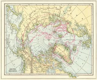
1908 Antique North Pole Map Arctic Map Or Antarctica Map South Pole Map 6785
-
![Orignal Arctic Exploration Map - Ca 1910 - W/ Expeditions/ Routes Neat]()
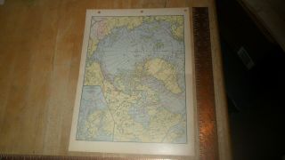
Orignal Arctic Exploration Map - Ca 1910 - W/ Expeditions/ Routes Neat
-
![Antarctique - Mallet, Published Paris 1683 Copper Plate Engraving, Plate 245]()
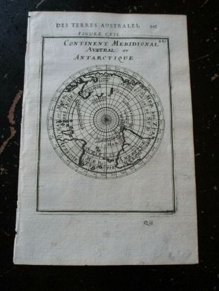
Antarctique - Mallet, Published Paris 1683 Copper Plate Engraving, Plate 245
-
![Victorian Plate, Coal Fields Of Great Britain, Ordinances Survey, Map, Mining]()
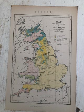
Victorian Plate, Coal Fields Of Great Britain, Ordinances Survey, Map, Mining
-
![1898 Antique North Pole Map Arctic Map North Polar Region Gallery Wall Art 4751]()
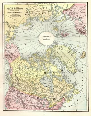
1898 Antique North Pole Map Arctic Map North Polar Region Gallery Wall Art 4751
-
![Map Of Pacific Ocean 1890s Antique]()
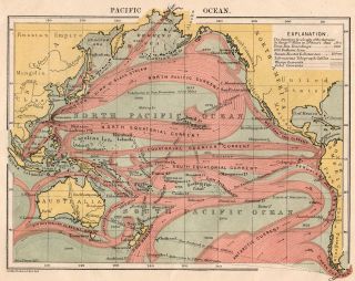
Map Of Pacific Ocean 1890s Antique
-
![Cram’s Unrivaled Family Atlas Hardcover 1893 Edition]()
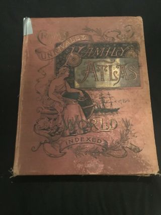
Cram’s Unrivaled Family Atlas Hardcover 1893 Edition
-
![C1832 Hand Coloured Map Judea According To The Apocryphal Books Galilee]()
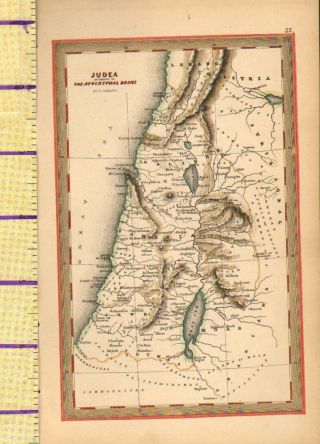
C1832 Hand Coloured Map Judea According To The Apocryphal Books Galilee
-
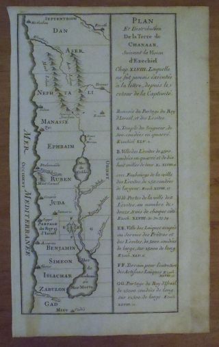
![Tribes Of Israel Located In Palestine - 1722 Copperplate Calmet Holy Land Map]()
Tribes Of Israel Located In Palestine - 1722 Copperplate Calmet Holy Land Map
-
![Swiss & Co]()

Swiss & Co ' S No. 7 Hunting Map.
-
![Swiss & Co Hunting Map No. 8 2nd Edition]()
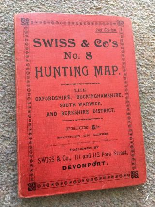
Swiss & Co Hunting Map No. 8 2nd Edition
-
![1892 Victorian Town Plan Map Hull Harbour Humber Docks Paragon Station]()
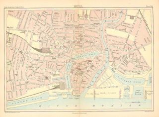
1892 Victorian Town Plan Map Hull Harbour Humber Docks Paragon Station
-
![Chatelain - View Of St. Kitts & Curiosities - 1718 Atlas Historique Engraving]()
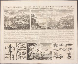
Chatelain - View Of St. Kitts & Curiosities - 1718 Atlas Historique Engraving
-
![Cram]()
Cram ' S Unrivaled Atlas Of The World, 1914, Census Edition Above Average
-
![York Minster Plan Dated 1966 By Isabel Saul]()
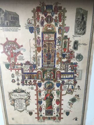
York Minster Plan Dated 1966 By Isabel Saul
-
![Vintage Malayan Atlas Made From Old Cash Book With 33 Maps Of The Area]()
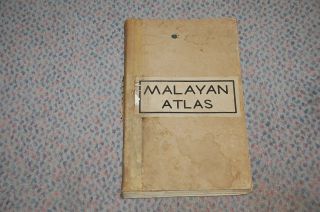
Vintage Malayan Atlas Made From Old Cash Book With 33 Maps Of The Area
-
![European Political Geograohical Map Vintage Swedish Map Insert 1949]()
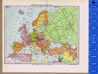
European Political Geograohical Map Vintage Swedish Map Insert 1949
-
![Vintage Admiralty Chart 2672 Japan - Hokkaido - Hakodate Ko 1976 Edn]()
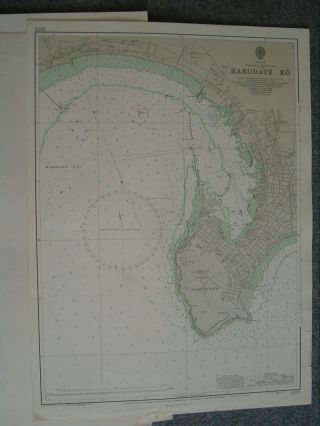
Vintage Admiralty Chart 2672 Japan - Hokkaido - Hakodate Ko 1976 Edn
-
![1913 Large Mercantile Marine Map Winds & Sailing Tracks Monsoons Cyclones]()
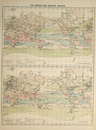
1913 Large Mercantile Marine Map Winds & Sailing Tracks Monsoons Cyclones
-
![1927 Large Mercantile Marine Map Commerical Chart World Routes Falkland Asia]()
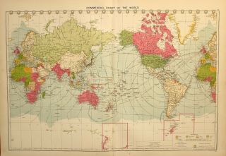
1927 Large Mercantile Marine Map Commerical Chart World Routes Falkland Asia
-
![Philips Handy General Atlas 1874]()

Philips Handy General Atlas 1874
-
![Antique Map Of N. India. Linen Backed. 19thc. Hand Coloured. Much Detail]()

Antique Map Of N. India. Linen Backed. 19thc. Hand Coloured. Much Detail
-
![1952 A Map Of The Eastern Shore, Rich In History, Romance And (yum) Seafood]()
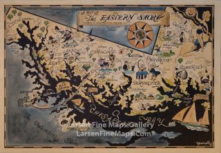
1952 A Map Of The Eastern Shore, Rich In History, Romance And (yum) Seafood
-
![Vintage Admiralty Chart 2013 Portsmouth To Kinnairds Head 1960 Edn]()
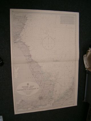
Vintage Admiralty Chart 2013 Portsmouth To Kinnairds Head 1960 Edn
-
![1934 Rare Map, A Romance Map Of The Finger Lakes Region Framed]()
1934 Rare Map, A Romance Map Of The Finger Lakes Region Framed
-
![Vintage Large Map Of Britain Annual Rainfall Dispersion Diagrams]()
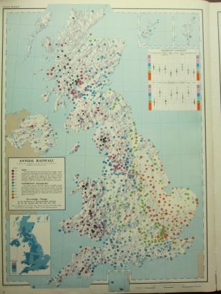
Vintage Large Map Of Britain Annual Rainfall Dispersion Diagrams
-
![Vintage Large Map Of Britain Probable Areas Of Predominant Soils Podzolic]()
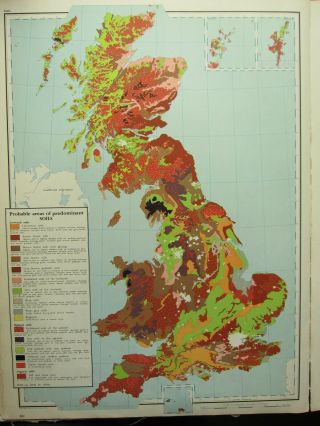
Vintage Large Map Of Britain Probable Areas Of Predominant Soils Podzolic
-
![Antique Vintage Acropolis Parthenon Pull Down Map Plan Chart Greek Archeology]()
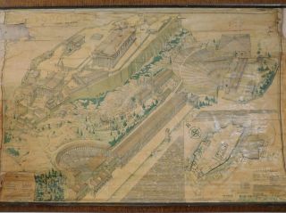
Antique Vintage Acropolis Parthenon Pull Down Map Plan Chart Greek Archeology
-
![1875 Antique Historical Map Spain Hispania Hesperian Peninsula (1492)]()
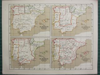
1875 Antique Historical Map Spain Hispania Hesperian Peninsula (1492)
-
![Vintage Admiralty Chart 2153 Malacca Strait - Pelabuhan Kelang 1980 Edition]()
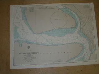
Vintage Admiralty Chart 2153 Malacca Strait - Pelabuhan Kelang 1980 Edition
-
![Admiralty Map Wexford To Wicklow Ireland East Coast]()
Admiralty Map Wexford To Wicklow Ireland East Coast
© 2022, avaluer.net, Inc. or its affiliates